MapMaster 2.0
Interactive digital mapping – anytime, anywhere
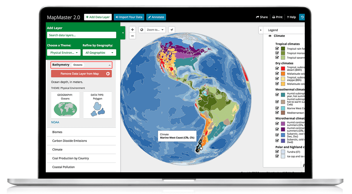
Build 21st century data analysis skills with MapMaster 2.0! This interactive digital mapping tool helps students develop geographic literacy, spatial reasoning, and critical thinking skills by examining patterns and relationships across regional and global datasets. MapMaster 2.0 includes more than 400 cultural, economic, physical, and political datasets from authoritative sources such as the World Bank, United Nations (UN), and United States Geological Survey (USGS).

Fully mobile
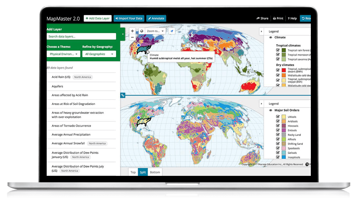
Fully mobile access to enhanced visualization and analysis tools: split screen, bivariate mapping, data filtering/probing, and more.
Fully mobile


Hands-on practice
Students can access MapMaster 2.0 from the Mastering Study Area, for self-study outside the classroom.
Hands-on practice


Robust course activities
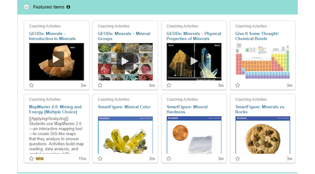
Assign MapMaster 2.0 activities through the Mastering Item Library or access them via eTextbooks to use with in-class lectures.
Robust course activities

Over 400 searchable data layers
Easily search specific data layers, or use Choose a Theme and Refine by Geography filters to narrow searches even further.
Learn more
Features and FAQs
View frequently asked questions and learn more about MapMaster 2.0 features and functionality.
Webinar
Watch Mapping to Help Students Better Understand the Cultural Landscape to explore the value of MapMaster 2.0 digital mapping to your course and students.