Switch content of the page by the Role togglethe content would be changed according to the role

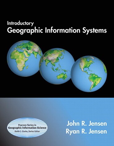
Introductory Geographic Information Systems, 1st edition
Published by Pearson (September 11, 2012) © 2013
- John R. Jensen Brigham Young University
- Ryan R. Jensen Brigham Young University
$165.32
Price Reduced From: $206.65
$165.32
Price Reduced From: $206.65
Title overview
Geospatial technologies in general — and Geographic Information Systems (GIS) in particular — are becoming increasingly important in our society. GIS technology is used to identify the optimal routes for emergency vehicles, to determine the best locations for various businesses, schools, and facilities, to monitor the growth and expansion of urban areas as a way to manage natural resources, and much more.
Principles of Geographic Information Systems by John Jensen and Ryan Jensen is an ideal introduction for those who know very little about geographic information systems and spatial analysis. Relatively complex GIS principles are introduced in basic terms, often using graphics to communicate principles rather than complex mathematical equations. Content is not geared toward any single commercial GIS software program, and the book’s timely, practical examples and extensive visual format appeal to today’s students. This text can be used at the undergraduate or graduate level in one or two semester courses in Introductory and Intermediate GIS, yet can also be useful for professionals looking to increase their knowledge in this subject area.
Note: A one user access code for mygeoscienceplace is part of the original, new text. If you are purchasing the electronic version mygeoscienceplace does not come automatically packaged with the text. To purchase mygeoscienceplace, please visit www.mygeoscienceplace.com.
